Many forces work together to shape the landscape. Plate tectonics, volcanic activity, erosion, and deposition work slowly over time to form and change Earth’s surface. All these forces working together create some pretty unique and cool landforms! In this post, we’ll take a closer look at 12 common landforms – what they look like and how they form!
Share This Post:
What are landforms?
Landforms are the naturally formed, solid features of the Earth’s surface. They shape the Earth’s topography, or form. Landforms shape the way the Earth’s surface looks and how humans, plants, and animals live in different areas. Next time you head out on a road trip or visit a park, see which of these 12 common landforms you can spot!
For Teachers: If you’re an educator planning to teach landforms, great activities and visuals are key to deepening understanding! I think you and your students will love my complete Landforms Unit, which you can also find in my Landforms and Waterbodies Bundle –plus you’ll support my blog with your purchase! ❤️
Recommended products
-

Landforms: a geography and earth science unit
$8.00 -
Landforms & Water Bodies Bundle: 2 geography & earth science units
Original price was: $16.00.$12.80Current price is: $12.80.


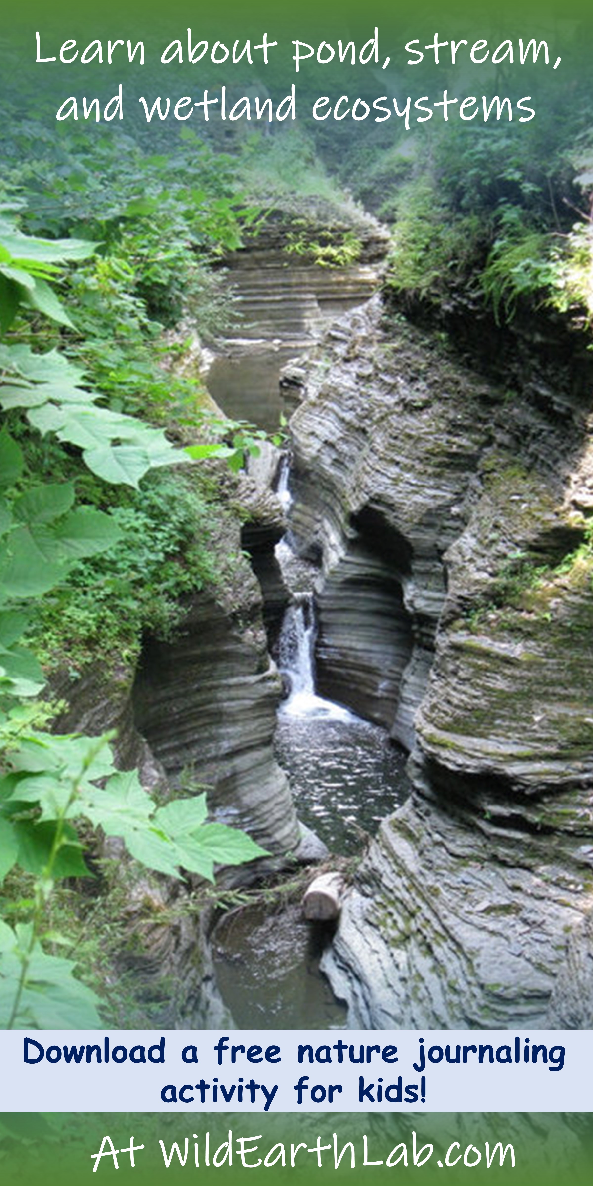
Canyon
Definition: A deep, narrow passage bounded by cliffs on both sides. Canyons are like valleys but with much steeper walls.
Formation: Canyons form due to erosion by running water. The running water may be seasonal and only flow for a few months of the year, or flow year-round.
Examples of Canyons
- Hancock Gorge, Karijini, Australia
- Leprechaun Canyon, Utah, USA
- Zion National Park, Utah, USA

Cave
Definition: A naturally formed, underground chamber, below the earth’s surface or on the side of a hill or cliff.
Formation: Many caves are formed by erosion. Caves can form when slowly seeping groundwater dissolves buried rock, leaving behind hollowed-out caverns. For example, the rock limestone dissolves when in contact with mildly acidic groundwater. Erosion can also form caves when waves carve sea caves into cliffsides.
Examples of Caves
- Reed Flute Cave, Guilin, Guangxi, China
- Gruta do Lago Azul Natural Monument, State of Mato Grosso do Sul, Brazil
- Apostle Islands National Lake Shore Mainland Sea Caves, Bayfield, Wisconsin, USA

Cliff
Definition: A steep rock face where the land’s surface abruptly drops off.
Formation: Cliffs form due to erosion from forces such as running water, ocean waves, groundwater seepage, or ice.
Examples of Cliffs
- Pulpit Rock, Preikestolen, Norway
- El Capitan, Yosemite National Park, California, USA
- Ampetheatre, Giants Castle Game Reserve, South Africa

Hill
Definition: A rounded, naturally elevated area of land.
Formation: Hills form in many ways. Some hills form as formerly larger mountains erode. Others form when sediments are deposited and then colonized with plants, such as the hills left behind in areas once covered by glaciers. Some hills form due to plate tectonic activity.
Examples of Hills
- Cypress Hills, Alberta, Canada
- The Chevoit, Wooler, UK
- Pheasant Branch Conservancy, Wisconsin, USA


Island
Definition: A body of land surrounded by water. Islands are smaller than continents and can be found in many types of water bodies such as oceans, lakes, and rivers.
Formation: Islands may be formed by volcanic activity or by the deposition of sediments like sand. Plate tectonics also plays a role – where ocean plates converge, uplift and volcanic activity occur – increasing the elevation of the ocean floor until it breaches the water’s surface, forming islands.
Examples of Islands
- A Small Island near Pulau Guraici, North Maluku, Indonesia
- Isle Royale National Park, Michigan, USA: the largest island in Lake Superior. Isle Royale is so large it has smaller lakes on it, which have smaller islands within them!
- Bird Island, near South Georgia and the South Sandwich Islands off the coast of Antarctica

Isthmus
Definition: A narrow strip of land with water on two sides, connecting two bodies of land.
Formation: Isthmuses form when the water level exposes an elevated ridge of land above the water’s surface. Some isthmuses, such as the Isthmus of Panama, form where tectonic plates converge. Others, like the Madison Isthmus, result from the lakes and glacial drumlins (ridges of loose rock and coarse sediment deposited by glaciers) left behind in a post-glacial landscape.
Examples of Isthmuses
- Madison Isthmus, Madison, Wisconsin, USA
- Isthmus of Panama, Panama
- Isthmus of Nahant, Massachusetts, USA

Mesa
Definition: A naturally elevated, flat-topped area of land with steep sides. It is larger than a butte but smaller than a plateau.
Formation: Mesas form as running water erodes the rocks and sediments surrounding an area, leaving it elevated above the surrounding landscape. A “capstone” made of harder rock than the surrounding area may prevent the mesa itself from eroding as quickly.
Examples of Mesas
- Monument Valley, Utah, USA
- Knocknarea, County Sligo, Ireland
- Toroweap Overlook, Arizona, USA


Mountain
Definition: A steep, naturally elevated area of land. It typically has high relief and may have exposed bedrock.
Formation: Mountain ranges form when two tectonic plates collide together. This may occur on coasts or in the middle of continents. Mountains experience lots of precipitation, which causes them to slowly erode.
Examples of Mountains
- Vestal and Arrow Peaks, Colorado, USA
- White Mountains, New Hampshire, USA
- Valley of the Ten Peaks, Alberta, Canada
- Aconcagua, Mendoza, Argentina
- Annapurna Base Camp, Nepal

Peninsula
Definition: A body of land that sticks out into a body of water. It is mostly surrounded by water and connected to a larger landmass on one side.
Formation: Peninsulas form when the water level exposes an elevated ridge of land above the water’s surface.
Examples of Peninsulas
- Baja California, Mexico
- Antarctic Peninsula, Antarctica
- Cape Peninsula, Cape Town, South Africa

Sand Dune
Definition: A hill of loose sand commonly found along coasts and in deserts.
Formation: Sand dunes form when lots of loose sediments are deposited in an area and rearranged into asymmetrical mounds by the wind.
Examples of Sand Dunes
- Huacachina, Peru
- Dune 7, Namibia
- Great Sand Dunes National Park, USA


Valley
Definition: A low area of land between two hills or mountains. Valleys often have streams flowing through them.
Formation: Valleys are formed by erosion. Running water or glaciers can carve out valleys over long time periods. Flowing water tends to cut “V” shaped valleys, while glaciers carve out “U” shaped valleys.
Examples of Valleys
- Conundrum Wilderness, Colorado, USA
- Lötschental Valley, Kippel, Switzerland
- Valley of Flowers National Park, Uttarakhand, India
- Overmountain Shelter, North Carolina, USA

Volcano
Definition: A mountain or hill with a crater through which lava is projected.
Formation: Volcanoes typically form due to plate tectonic activity, which can allow the molten rock to breach the Earth’s surface. The buildup of solidified lava forms a cone with a crater in it.
Examples of Volcanoes
- Mount Rainier, Washington, USA
- Mouna Loa, Hawaii, USA
- Volcán Osorno, Los Lago, Chile
Other landforms
- Alluvial fan – a cone-shaped pile of sediments deposited by flowing water in an area where the landscape changes from steep to flat.
- Arches and natural bridges – rock formations containing a large hole, typically formed by erosion.
- Beach – gradually sloping land along the edge of a body of water; usually covered with sediments like sand, pebbles, or cobbles.
- Butte – a small flat-topped mountain; not as large as a mesa.
- Moraine – landform feature created by the loose rocks and sediments plowed into piles by a glacier.
- Plateau – a large, elevated flat area; larger than a mesa. Some plateaus, like the Colorado Plateau, are so large they span hundreds of miles.
What about water bodies?
Continue reading about water bodies in this separate post on common water features!
Teach Landforms with Wild Earth Lab:
Are you planning to teach landforms and water features? You may enjoy the learning materials I’ve created on these topics! All my learning materials feature my artwork! Find them in my shop or click on the links below:
Recommended products
-
Landforms: a geography and earth science unit
$8.00 -

Water Bodies: a geography and earth science unit
$8.00 -
Landforms & Water Bodies Bundle: 2 geography & earth science units
Original price was: $16.00.$12.80Current price is: $12.80.
Find Your Next Earth Science Topic With Wild Earth Lab:
Ready to explore your next Earth science topic? Get started with one of these blog posts…
- Earth’s Layers: crust, mantle, core, & more. Plus a layers-of-the-Earth-inspired density activity!
- What are the different types of volcanoes? Shield volcanoes, fissures, calderas, and more!
- Rock ID Lab: directions and materials list for a classroom geology activity
- Soil Science in Your Classroom: 5 educational activities to try
Explore more Wild Earth Lab science units…
Recommended products


Are you interested in reading more about Earth Sciences? Subscribe or follow Wild Earth Lab using the links below!
References and Further Reading
- National Park Service (September 22, 2020). Plate Tectonics & Our National Parks. Availalbe: https://oceanexplorer.noaa.gov/facts/plate-boundaries.html
- Plummer, C. C., Carlson, D. H., & Hammersley L. (2019) Physical Geology. New York, NY: McGraw-Hill Education. (16th ed., pp. 232 – 320).
- University of Hawaii (n.d.). Weathering and Erosion.Sea Earth Atmosphere. Available: https://manoa.hawaii.edu/sealearning/grade-4-earth-science-topic-1